
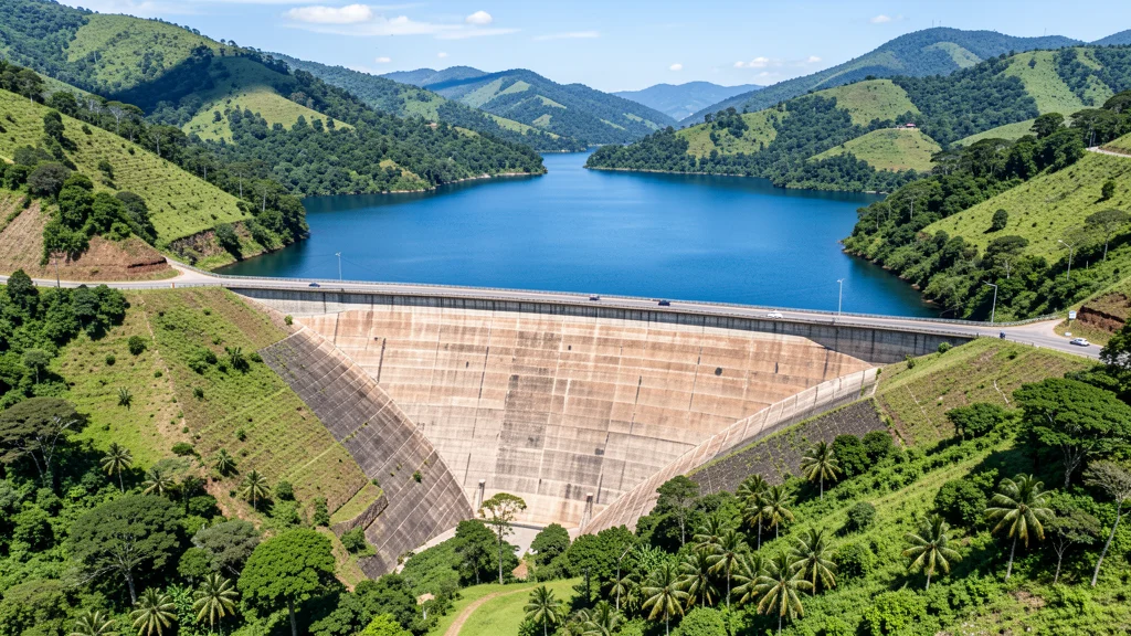
Conceptual dam modeling in AutoCAD Civil 3D is an essential step for civil engineers working on water and mining infrastructure projects. This technical guide presents the step-by-step process for creating the massif and water depth, from the topographic surface to the final volume quantities.
Fundamentals of Dam Modeling in Civil 3D
Conceptual modeling consists of geometrically representing the massif and the reservoir in a 3D CAD environment before executive detailing. In AutoCAD Civil 3D, TIN surfaces, gradings and corridors are combined to simulate the volumetric behavior of the dam-reservoir assembly. The conceptual phase defines the basic geometry that will be refined in the following stages of the project.
Main objectives of conceptual modeling:
- Estimate volumes of embankment and excavation of the massif
- Define crown height, crest width and slope inclination
- Simulate the reservoir's water mirror at the maximum N.A. level
- Calculate flood areas and accumulated reservoir volume
- Generate cross sections for preliminary geotechnical analysis
- Compare geometric alternatives before the executive basic design
Unlike executive detailing, conceptual modeling prioritizes agility in evaluating alternatives. With parametric tools, the engineer adjusts slope inclinations, dimensions and alignments with automatic volume updates, testing dozens of scenarios in hours.
Walkthrough: Massif and Water Sheet
1. Base surface of the land: Import topographic points (CSV, TXT or LandXML) and create the natural terrain TIN surface. Add breaklines to waterways to accurately represent the valley's topography. The quality of the base surface is decisive for the accuracy of volumetric calculations.
2. Longitudinal axis and grid: Create an alignment that represents the axis of the massif. Extract the terrain profile along this axis and draw the project grid with crown elevation, crest width and inclination of the upstream and downstream slopes.
3. Assembly and runner: Assemble an assembly with dam subassemblies: crowning, embankments, berms and filter. Generate the corridor (Corridor) to model the complete 3D surface of the massif. Civil 3D dynamically updates the corridor when the alignment or profile changes.
4. Surface of the massif and water depth: Extract the surface of the corridor to represent the massif. For the reservoir, create a separate surface at the maximum N.A. elevation using Gradings or feature lines to delimit the contour of the water mirror.
- Maximum N.A. quota defined by the hydrological study of the watercourse
- Blade contour: intersection of the horizontal plane with the natural topography
- Reservoir volume calculated via Volumes Dashboard between surfaces
5. Quantitative and cross sections: Use the Volumes Dashboard to calculate the volume of landfill between the natural surface and the surface of the massif. Generate sample lines along the axis to create dimensioned cross sections, cut/fill areas, and final dam geometry.
Why Use Civil 3D for Dams
AutoCAD Civil 3D is the standard platform in Brazil for infrastructure and dam projects. Its ability to work with dynamic surfaces, automated parametric and quantitative corridors drastically reduces design time. Integration with hydrological analysis tools allows evaluating slope stability and reservoir volumes in a single environment.
Conceptual dam modeling in Civil 3D allows you to present feasibility studies with accurate volumetric data, optimize the geometry of the dam and reduce earthmoving costs in the design phase. To master these techniques, access to original software and up-to-date training materials is critical.
Check out the licensing options available on CanalVIP catalog for AutoCAD Civil 3D and other Autodesk software. Invest in your career in infrastructure engineering with the right tools from the conceptual phase of the project.