
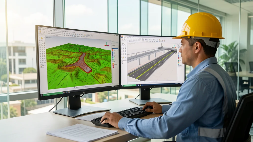
AutoCAD Civil 3D is Autodesk's solution for infrastructure projects that goes beyond traditional CAD. With specific tools for civil engineering, the software automates design processes, reduces rework and integrates geospatial data directly into the workflow. For Brazilian engineers who work with earthmoving, drainage, highways and subdivisions, mastering AutoCAD Civil 3D is no longer a differentiator — it is a technical requirement in medium and large offices.
What makes AutoCAD Civil 3D essential for engineering
Civil 3D is a specialized AutoCAD extension that adds layers of parametric intelligence to technical drawing. Unlike conventional AutoCAD, where each line represents only geometry, in Civil 3D objects carry attributes such as elevation, slope, material and volume. This means that changes at one point in the project automatically propagate throughout the model, eliminating rework and ensuring consistency between plans, profiles and cross sections.
The platform combines native AutoCAD features with infrastructure-specific functionality. The result is an integrated work environment that reduces detailing time by up to 60% compared to traditional methods based solely on 2D CAD. Key features include:
- TIN surfaces: Model natural and engineered terrain with contour lines, dimension points, and surface breaks for accurate volume analysis
- Corridors: combine alignments, longitudinal profiles and assemblies to generate complete 3D models of highways, railways and canals
- Automated quantification: extract cut and fill volumes directly from the model with ready reports for budgeting and planning
- Geospatial integration: import topographic survey data, satellite images and georeferenced point clouds
- Automatic documentation: generate linked plans, sections, profiles and tables — any change to the model updates all documentation
- BIM compatibility: export models to Revit, Navisworks and InfraWorks, enabling multidisciplinary collaboration on large projects
Practical applications in Brazilian infrastructure
In Brazil, AutoCAD Civil 3D is widely used in earthmoving projects for subdivisions, state and federal highways, earthen dams, urban drainage systems and basic sanitation networks. Engineering offices that adopted the software report productivity gains of between 40% and 60% in the detailing stage, with a significant reduction in compatibility errors between disciplines.
Furthermore, integration with structural and hydrological analysis software allows engineers to develop complete projects within a single digital ecosystem, eliminating the need for conversions between different platforms. This is especially relevant in large-scale infrastructure works, where compatibility between disciplines can compromise project deadlines and costs.
License options: free and commercial
Autodesk offers free educational licenses of AutoCAD Civil 3D to students, teachers, and accredited educational institutions. Access is valid for one year and renewable as long as the user maintains an active academic relationship. For professionals who want to test before investing, there is a 30-day trial with all functionalities released, without export or printing restrictions.
- Educational License: free for 12 months, renewable with proof of enrollment or valid institutional affiliation
- Professional Trial: 30 days with full access to all Civil 3D modules and features, ideal for testing and evaluation
- Commercial subscription: Annual and multi-annual plans with specialized technical support and updates included, with discounts on multimodal packages
Anyone looking for alternatives or wanting to compare engineering software options can consult the CanalVIP catalog, which brings together software compatible with BIM and CAD for Brazilian professionals with different licensing models and budgets.
Why learn AutoCAD Civil 3D in 2026
With the growing adoption of BIM in Brazil, driven by government programs such as BIM BR and increasing requirements in public tenders, mastery of AutoCAD Civil 3D has become a decisive competitive differentiator for civil engineers. The software speeds up project production, reduces compatibility errors between disciplines and facilitates communication with clients and regulatory bodies.
Certified professionals have privileged access to opportunities in large infrastructure projects, from conception to execution. Investing in learning Civil 3D in 2026 is to ensure technical relevance in an increasingly digital and data-driven market. Check out the solutions available on CanalVIP Catalog and choose the ideal software for your civil engineering projects.