
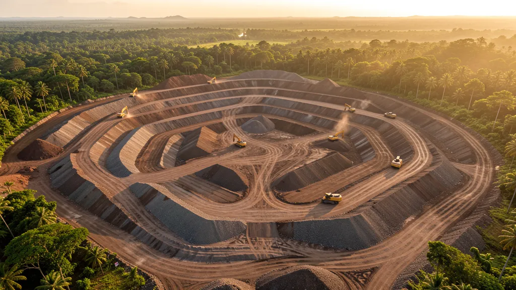
Waste rock and filtered tailings pile design in AutoCAD Civil 3D is one of the most technical and strategic applications in mining engineering. With increasingly stringent environmental requirements and pressure to reduce operational costs, mastering earthmoving design in Civil 3D has become a competitive differentiator for engineers and designers in the mineral sector in Brazil.
What are waste rock piles and filtered tailings in mining
In the mineral industry, waste material corresponds to rock or soil with no economic value that needs to be removed to access the ore of interest. Filtered tailings is the residue from ore processing, mechanically dewatered until it reaches low humidity, allowing dry disposal. Both require elaborate geotechnical layout designs, where AutoCAD Civil 3D stands out as the main modeling and documentation tool.
- Sterile pile: deposit of material removed from the pit, designed in layers with strict control of slope and surface drainage
- Filtered waste: dewatered residue with reduced moisture content, arranged in compacted piles for greater geotechnical stability
- Mining earthworks: set of cutting and filling operations for geometric conformation of piles following design parameters
- Volumetric study: cálculo preciso dos volumes de material movimentado, essencial para planejamento de curto, médio e longo prazo
Civil 3D features for earthmoving projects
AutoCAD Civil 3D offers an integrated set of tools that make waste pile design more accurate and productive. From modeling surfaces to generating cross sections, the software automates tasks that would be extremely time-consuming in traditional CAD. The following features are the most used by mining designers.
- Modelagem de superfície TIN: creation of three-dimensional surfaces from topographic surveys, survey data and contour lines
- Corridors: modelagem paramétrica das inclinações, bermas e rampas de acesso das pilhas com atualização dinâmica
- Volumes Dashboard: comparison between original and designed surface for accurate calculation of cut and fill volumes in real time
- Seções transversais: automatic generation of geotechnical sections for executive documentation and stability reports
- Subassembly Composer: criação de componentes paramétricos personalizados para geometrias específicas de pilhas de disposição
Para quem deseja começar, o AutoCAD Civil 3D is available in the CanalVIP catalog with options for different needs.
Etapas essenciais do projeto no Civil 3D
O fluxo de trabalho para projetar uma pilha de estéril no Civil 3D segue uma sequência lógica que garante precisão geométrica e rastreabilidade. Cada etapa depende dos dados geotécnicos e topográficos fornecidos pela equipe de geologia e planejamento de mina. A integração entre as ferramentas do software reduz significativamente o retrabalho.
- Importação de dados topográficos: survey of the original surface of the land using dimensioned points, contour lines or point clouds
- Definição do talude final: configuração das inclinações máximas de projeto com base em parâmetros geotécnicos de estabilidade
- Pile base modeling: criação do alinhamento de referência e aplicação do assembly com as inclinações e bermas definidas
- Generation of design surfaces: extraction of the corridor end surface to represent the designed geometry of the stack
- Volume calculation: utilização do Volumes Dashboard para quantificar o material a ser movimentado entre superfície original e projetada
- Documentação final: generation of plans, type sections and volume reports for approval and execution in the field
Como obter o AutoCAD Civil 3D para seus projetos
AutoCAD Civil 3D is available in the CanalVIP catalog with options for professionals and companies that need advanced infrastructure and mining tools. If you work with earthmoving projects, waste disposal piles or volumetric studies, having Civil 3D at your disposal is essential to deliver accurate results on time. Check out the available options and see how Civil 3D can transform your engineering projects.