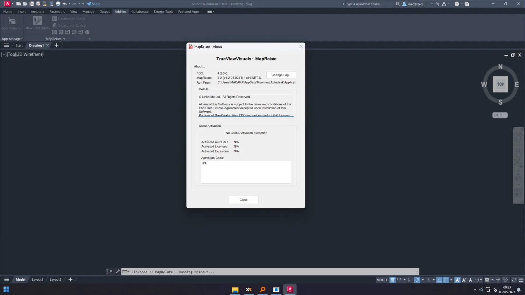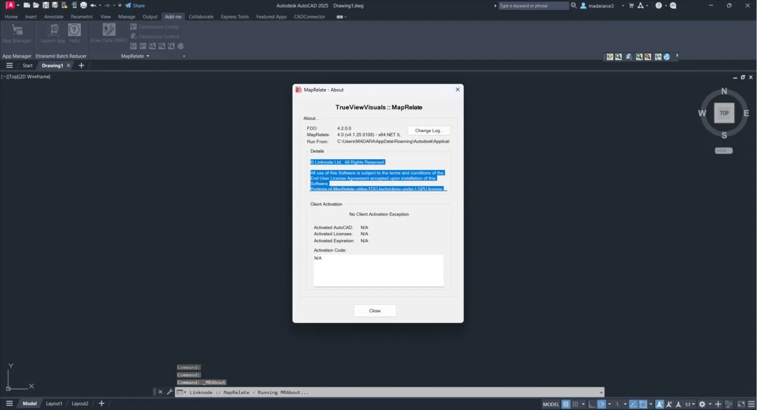
About Linknode MapRelate
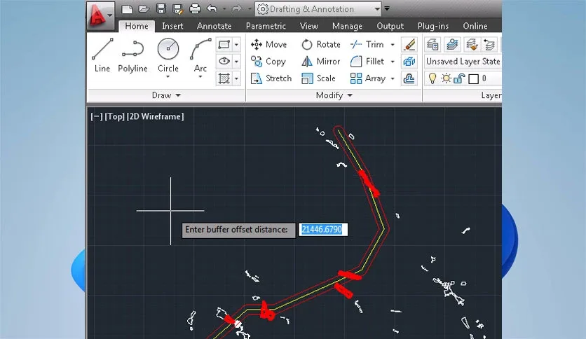
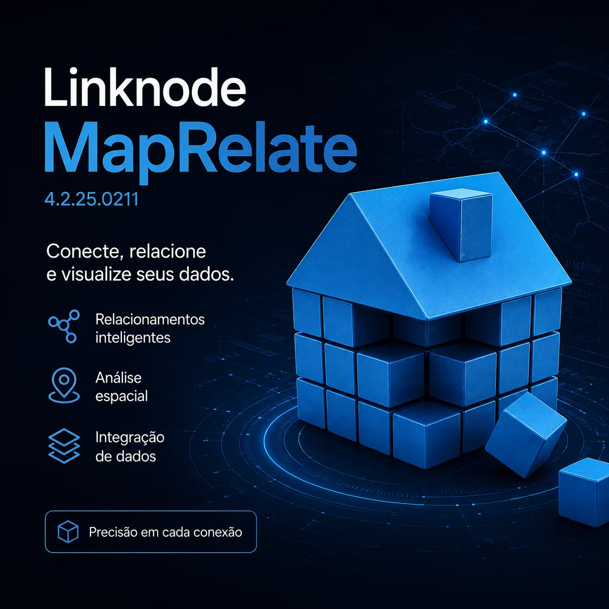
Linknode MapRelate is a GIS integration plugin for AutoCAD that bridges CAD and GIS workflows by enabling spatial data linking, coordinate system management, and attribute exchange between AutoCAD drawings and geospatial databases. Designed for infrastructure, utility, and municipal projects where CAD geometry must align with GIS databases.
Core GIS Integration
- Spatial data linking connect AutoCAD objects to GIS features via unique identifiers or spatial relationships
- Coordinate system management define, transform, and validate coordinate systems (CRS) for project drawings
- Attribute exchange bidirectional attribute transfer between CAD object properties and GIS feature attributes
- Feature class mapping map AutoCAD layers/blocks to GIS feature classes with schema validation
- Topology validation check CAD geometry against GIS topology rules (connectivity, adjacency, containment)
- Version management track GIS data versions and synchronize with drawing revisions
Supported Platforms
Connects to Esri ArcGIS (Enterprise, Online), PostGIS/PostgreSQL, Oracle Spatial, SQL Server Spatial, and OGC WFS/WMS services. Supports shapefile, GeoJSON, and CityGML import/export.